
Laser Mapping to Help Reveal the Past of Cranborne Chase
LEICESTERSHIRE, UK / AGILITYPR.NEWS / September 24, 2020 / Bluesky Aerial Laser Maps Help Landscape Partnership Reveal the Past
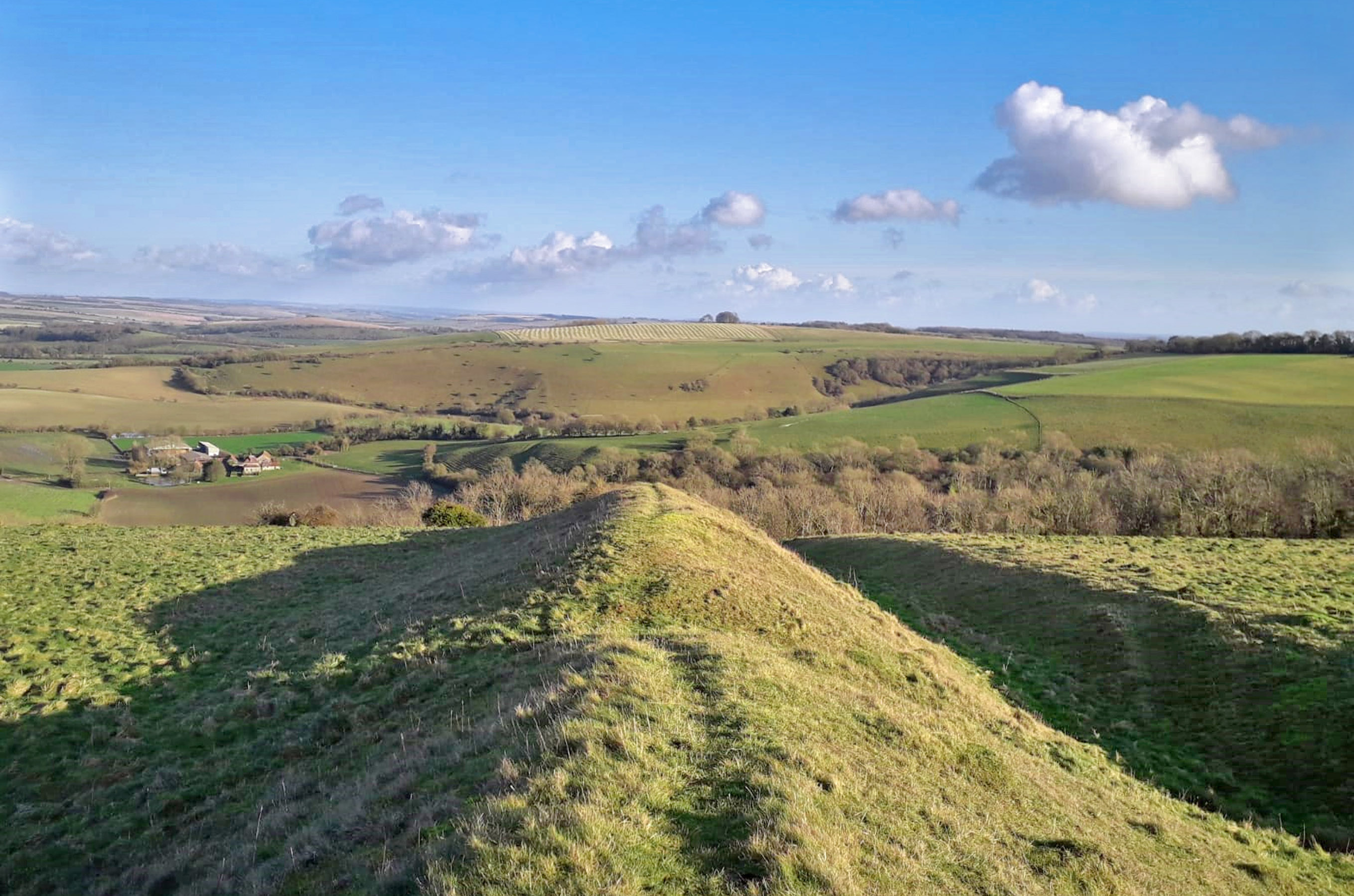
Aircraft mounted lasers are helping to reveal the rich archaeology within Cranborne Chase Area of Outstanding Natural Beauty (AONB). Captured by aerial mapping company Bluesky, the highly accurate LiDAR (Light Detection and Ranging) data will be used by the Chase and Chalke Landscape Partnership to reveal previously unknown archaeology. Analysis of the Bluesky terrain mapping will inform ground truthing of potential new archaeological sites and help target site investigations.
A National Lottery Heritage Fund scheme, the Chase and Chalke Landscape Partnership, focuses on the traditional heart of the Cranborne Chase Medieval royal hunting grounds together with the river valley to the north east known locally as the Chalke Valley. It encompasses an historic borderland, where the ancient shire boundaries of Dorset, Hampshire and Wiltshire coincide.
“Cranborne Chase is an area well known for its high number, density and diversity of archaeological remains including the Dorset Cursus, an Iron Age and Romano-British settlement at Woodcutts and several Roman roads, but many secrets remain to be uncovered.” commented Anne Carney, Funding and Partnership Officer at the AONB. “Using the Bluesky LiDAR data, we hope to gain a much better understanding of the archaeology beneath our feet, and involve communities in the investigation and care of these sites.”
“The Cranborne Chase is an unusual landscape type in that it is largely wooded chalk downland – most downland has been cleared – and the woodlands conceal a wealth of information on past human activity,” continued Carney. The Bluesky LiDAR survey was flown in March 2020 and the 16 point per metre dataset was delivered as a georeferenced point cloud. The LiDAR data was then processed to create highly accurate Digital Surface and Digital Terrain (DSM / DTM) of the area which it is hoped will reveal evidence for historic woodland industries such as saw pits, charcoal pits and lime kilns.
“Bluesky was able to demonstrate extensive experience of providing LiDAR for archaeological sites, including wooded areas, showed a thorough understanding of flying in MOD airspace and delivered on-time and on-budget despite bad weather and additional complications caused by the COVID pandemic,” she concluded.
The Champions of the Past project runs until spring 2024 and in addition to digital maps of archaeological sites, which will be made available as an online resource, will produce reports on the work of volunteers and their findings.
About Us
Bluesky International is the leading aerial survey and geographic data company in the UK producing and maintaining seamless digital aerial photography and height data on a national scale in both Great Britain and the Republic of Ireland. Bluesky also undertakes bespoke surveys, including LiDAR, for a range of public and private sector clients.
Bluesky International operates a range of aircraft and sensors including three Ultracam Eagle Mark 3s, a CityMapper which allows the simultaneous collection of vertical and oblique imagery as well as LiDAR data, and a Galaxy LiDAR which is mounted with a thermal sensor and survey grade camera. These systems put Bluesky International in the enviable position of being able to provide customers with unique and cost-effective geospatial solutions.
As well as being an established and respected aerial survey Bluesky International is also highly innovative and continually strives to develop new products and services by embracing new technology and methods. This has resulted in the development of some unique products such as the National Tree Map (NTM).
These datasets underpin long term contracts with local and central governments and many major blue-chip companies from a range of market sectors including financial services, utilities, telecoms, web portals, construction and environment. Bluesky International has offices in the UK, US, Republic of Ireland and a dedicated production centre in India.
Contacts
Robert Peel
Editorial Contact
robert@spatiallyaware.co.ukSpatially Aware
Phone: +44 (0) 1666 823306